In 1937 New Brunswick looked ready to take off!

Landing Lane Bridge looks different in this 1976 photo, but you can also see what is about to become the Route 18 bridge across the Raritan River.

It is a little tricky finding High Point Solutions Stadium in this old photo from 1952 (?) because the stadium wasn't called that back then (and it was much smaller).

In 1964 you could still see the industrial past of New Brunswick along the Raritan.

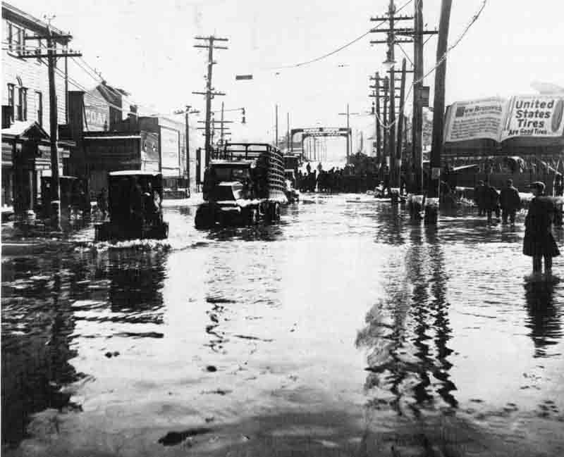
The 1920s photo of flooding on Albany Street seems eerily familiar.
Down in North Brunswick crowds turned out to watch them dig out what became Georges Road.

On the banks of the old Lawrence Brook, not far from the mighty Raritan River.


No comments:
Post a Comment